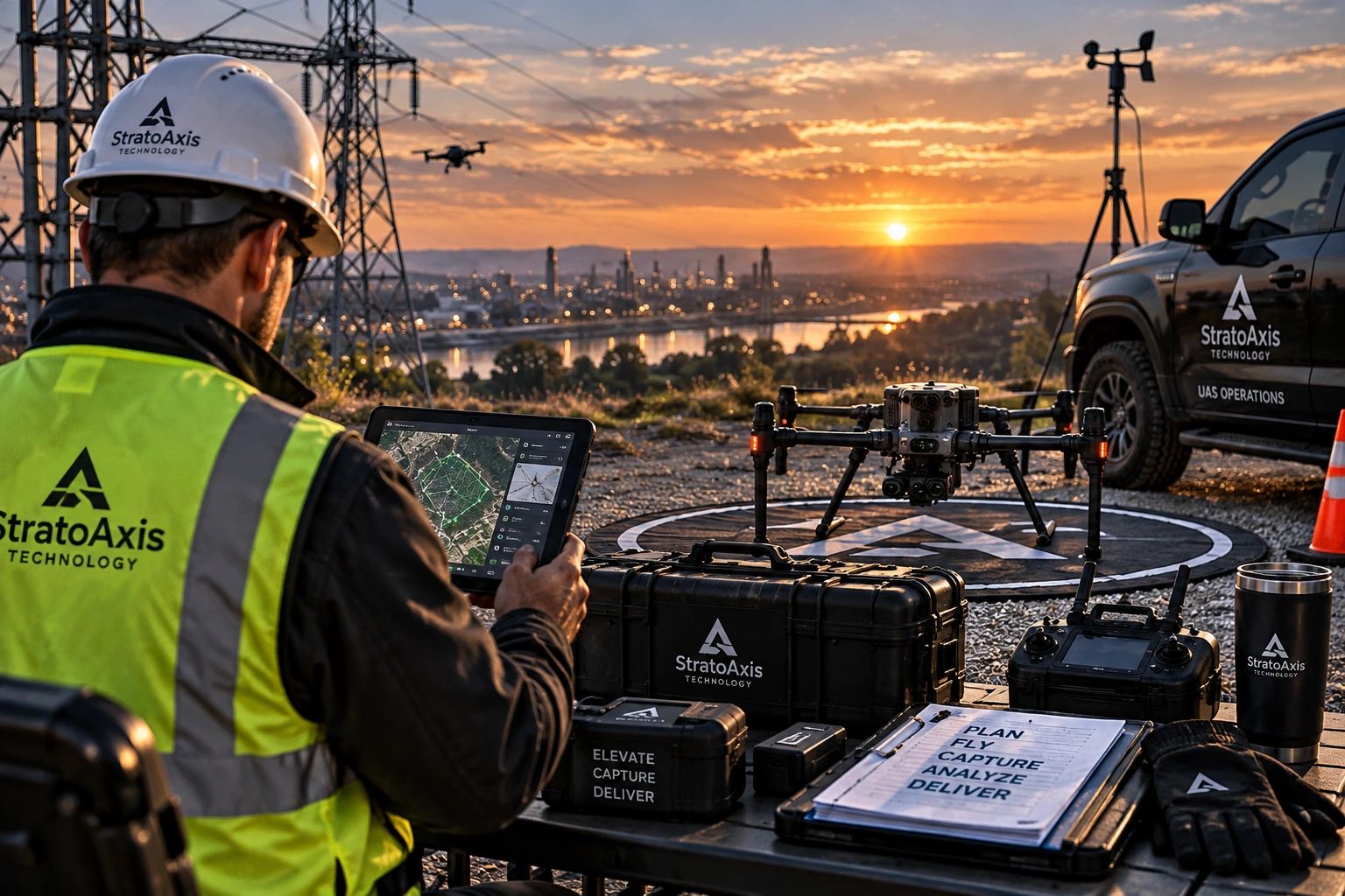
Advanced Aerial Intelligence & UAS Solutions
Inspection • Thermal Imaging • Mapping • Asset Intelligence • Emergency Response
Inspection • Thermal Imaging • Mapping • Asset Intelligence • Emergency Response
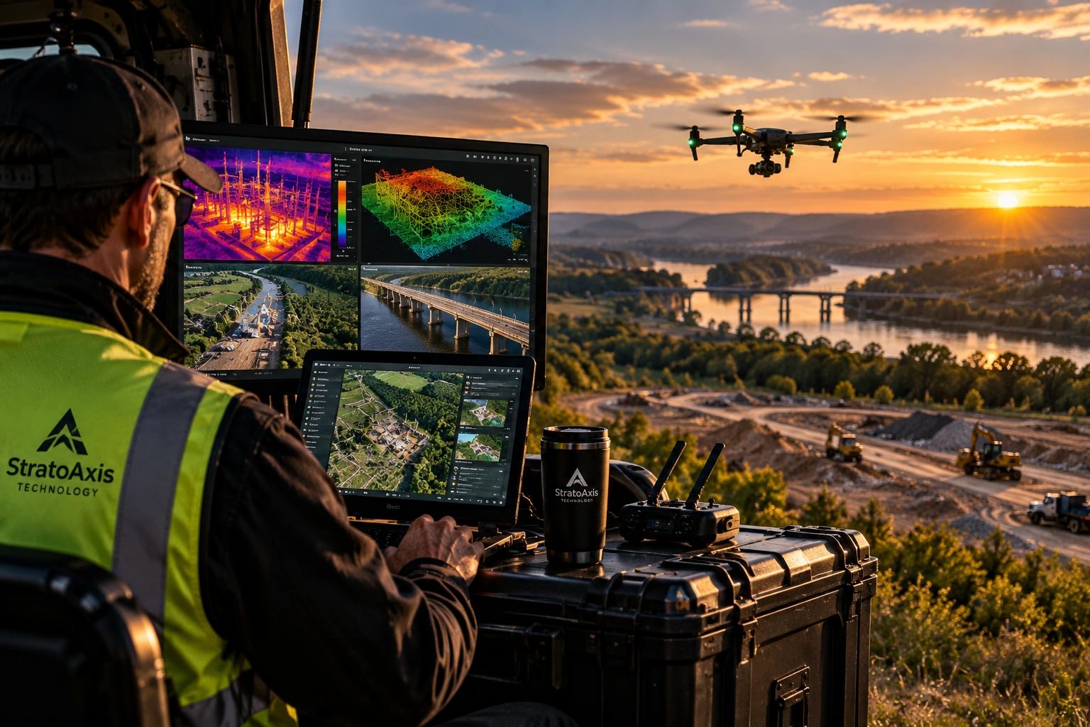
StratoAxis Technology uses unmanned aircraft systems, advanced sensors, data collection, and emerging technologies to solve real-world operational problems. From infrastructure inspection and thermal analysis to mapping, construction intelligence, agriculture, emergency response, and specialized field operations, our focus goes beyond simply capturing imagery. We collect the right data, process it effectively, and deliver actionable intelligence clients can use to make informed decisions.
High-resolution visual, thermal, multispectral, and geospatial data collection.
Transforming raw aerial data into measurements, models, condition assessments, and operational intelligence.
Clear, usable information designed to support planning, maintenance, safety, and decision-making.

FAA Part 107 Certified
Commercial UAS operations conducted under FAA regulations and professional flight standards.
Safety & Mission Planning
Every operation begins with airspace review, site assessment, risk management, and mission-specific planning.
Professional Data Delivery
Clear, organized deliverables designed to support inspection, documentation, maintenance, and operational decisions.