Advanced UAS Services
Thermal & Infrastructure Inspection
Actionable aerial data for utilities, facilities, structures, and critical assets.
Mapping & Site Intelligence
High-resolution aerial imagery, mapping, documentation, and construction progress monitoring.
Specialized UAS Operations
Purpose-built solutions for complex environments where traditional inspection methods are costly, slow, or hazardous.


Aerial Imaging & Documentation
Professional aerial imagery and site documentation for commercial properties, construction projects, real estate, and asset management.
Real Estate & Commercial Property
High-resolution aerial imagery that presents properties, facilities, and surrounding assets from a professional perspective.
Construction Documentation
Repeatable aerial documentation for project progress, site conditions, planning, and stakeholder reporting.
High-Resolution Aerial Imaging
Detailed aerial photography and video captured for marketing, documentation, analysis, and asset records.
Specialized Inspection & Asset Intelligence
Utility & Energy Infrastructure
Thermal and visual inspection of electrical, solar, and critical utility assets.
Towers & Elevated Structures
Detailed inspection of towers, rooftops, and difficult-to-access structural components.
Facility & Asset Inspection
High-resolution data collection designed to identify anomalies, document conditions, and support maintenance decisions.

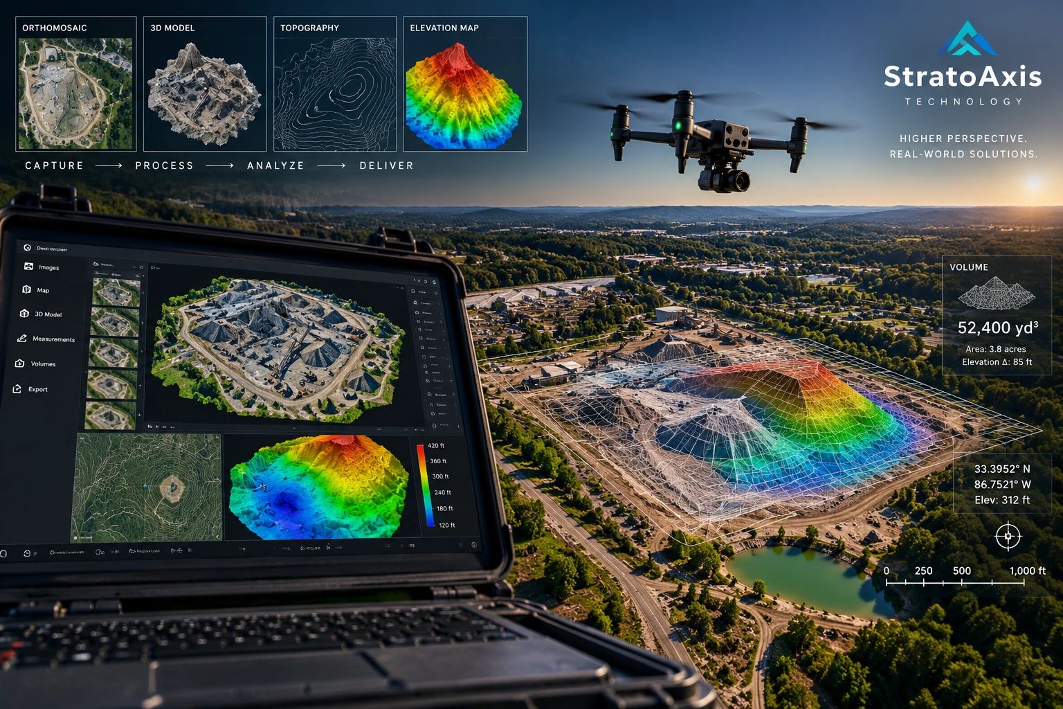
Mapping, Modeling & Data
Transforming aerial data into actionable intelligence for planning, measurement, documentation, and decision-making.
Orthomosaic Mapping
Georeferenced aerial imagery for sites, properties, infrastructure, and project documentation.
3D Modeling & Digital Twins
Detailed models for visualization, measurement, condition documentation, and asset management.
Volumetrics & Site Analysis
Accurate stockpile, excavation, terrain, and progress measurements from repeatable aerial datasets.
Safety, Compliance & Professional Operations
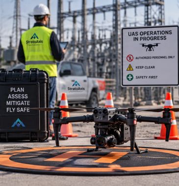
FAA-Compliant Operations
Mission Planning & Documentation
FAA-Compliant Operations
Part 107 operations conducted with disciplined airspace review, regulatory compliance, and mission-specific flight planning.
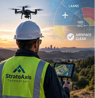
Safety & Risk Management
Mission Planning & Documentation
FAA-Compliant Operations
Structured preflight planning, site assessment, and operational procedures designed to protect people, property, and critical assets.
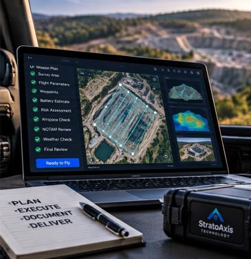
Mission Planning & Documentation
Mission Planning & Documentation
Mission Planning & Documentation
Every mission is planned, documented, and executed with clear objectives, operational records, and professional data management.
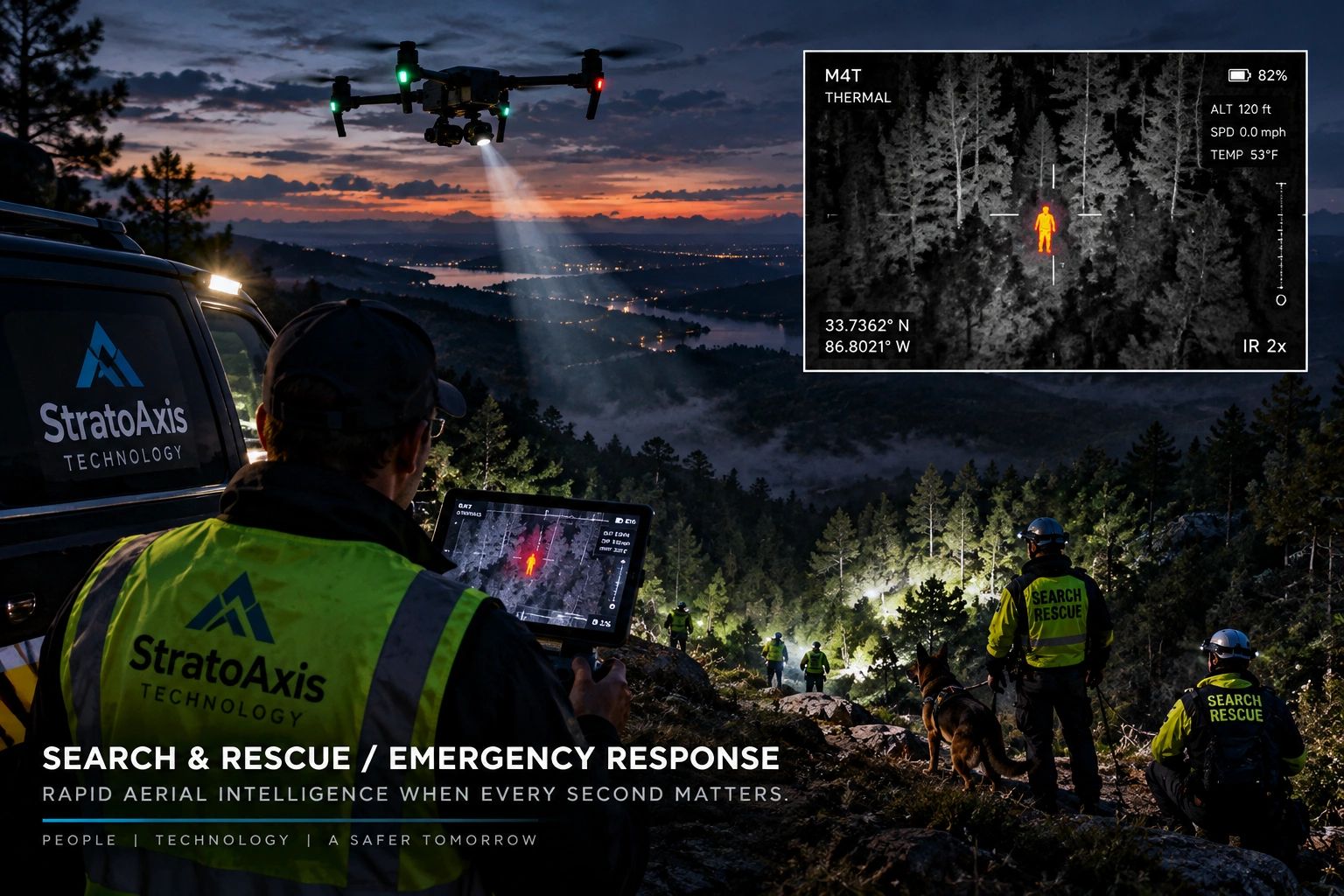
Search & Rescue / Emergency Response
Rapid aerial intelligence when every second matters. StratoAxis deploys advanced UAS technology to support search, rescue, emergency response, and incident command with real-time visual and thermal data.
Search & Rescue Operations
Thermal-assisted aerial search, rapid area coverage, and real-time visual intelligence to support emergency response and time-critical missions.
Thermal Detection & Night Operations
Infrared imaging and low-light capability designed to locate heat signatures, identify anomalies, and improve situational awareness when visibility is limited.
Rapid Deployment & Incident Support
Fast deployment, aerial overwatch, and mission documentation to support public safety, disaster response, and coordinated field operations.
Agriculture & Land Management
Aerial intelligence for large properties, agricultural operations, and land management. StratoAxis provides efficient aerial data collection to evaluate conditions, document assets, and support better field decisions.
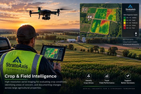
Crop & Field Intelligence
High-resolution aerial imaging for evaluating crop conditions, identifying areas of concern, and documenting changes across large agricultural properties.
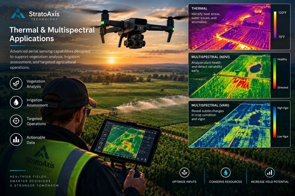
Thermal & Multispectral Applications
Advanced aerial sensing capabilities designed to support vegetation analysis, irrigation assessment, and targeted agricultural operations.
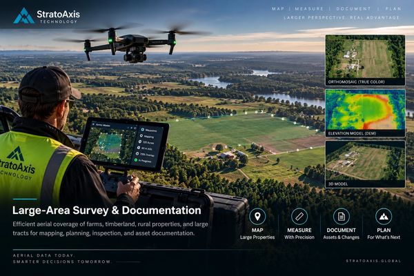
Large-Area Survey & Documentation
Efficient aerial coverage of farms, timberland, rural properties, and large tracts for mapping, planning, inspection, and asset documentation.